Field with view towards the Mendips
Introduction
The photograph on this page of Field with view towards the Mendips by David Martin as part of the Geograph project.
The Geograph project started in 2005 with the aim of publishing, organising and preserving representative images for every square kilometre of Great Britain, Ireland and the Isle of Man.

There are currently over 7.5m images from over 14,400 individuals and you can help contribute to the project by visiting https://www.geograph.org.uk
Field with view towards the Mendips
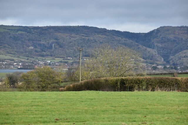
Image: © David Martin Taken: 18 Feb 2023
Cheddar Reservoir is visible on the left, with Cheddar Gorge cut into the hills on the right.
Images are licensed for reuse under creativecommons.org/licenses/by-sa/2.0
Image Location
Latitude
51.262042
Longitude
-2.843948