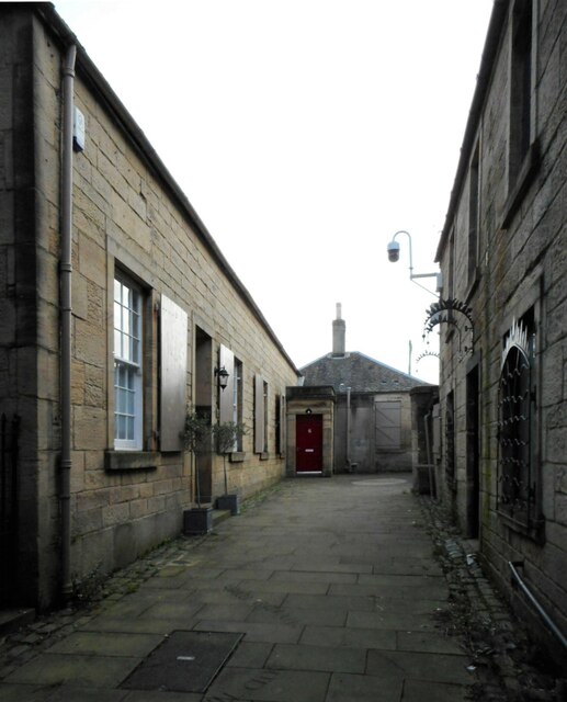
King's Court
Introduction
The photograph on this page of King's Court by Richard Sutcliffe as part of the Geograph project.
The Geograph project started in 2005 with the aim of publishing, organising and preserving representative images for every square kilometre of Great Britain, Ireland and the Isle of Man.
There are currently over 7.5m images from over 14,400 individuals and you can help contribute to the project by visiting https://www.geograph.org.uk

Image: © Richard Sutcliffe Taken: 17 Feb 2023
The single-storey block on the left dates from the early 19th century and is Categeory B listed http://portal.historicenvironment.scot/designation/LB31195. It is home to a company of chartered accountants. According to a plaque erected by the Town Heritage Trust: ‘King’s Court is the best preserved example of the many courts, wynds and closes which once distinguished Falkirk High Street. This area takes its name from the King’s Arms Court where the Inn stood in the 19th Century.’

