Frodsham Marsh Farm and Ship Canal
Introduction
The photograph on this page of Frodsham Marsh Farm and Ship Canal by David Crocker as part of the Geograph project.
The Geograph project started in 2005 with the aim of publishing, organising and preserving representative images for every square kilometre of Great Britain, Ireland and the Isle of Man.

There are currently over 7.5m images from over 14,400 individuals and you can help contribute to the project by visiting https://www.geograph.org.uk
Frodsham Marsh Farm and Ship Canal
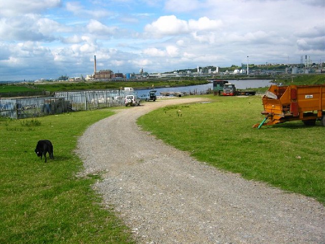
Image: © David Crocker Taken: 5 Jul 2003
Frodsham Marsh is an extensive area of drained land running alongside the M56 between Runcorn and Ince Marshes, and covering some 10 sq.km in area. Despite its proximity to Frodsham and Helsby it has a very remote feel to it. Frodsham Marsh Farm is in the north-west corner alongside the Manchester Ship Canal and is uninhabited. But there is a jetty there and MSC workings. Weston Point is seen across the Weaver and Canal with its ex-ICI chemical works.
Images are licensed for reuse under creativecommons.org/licenses/by-sa/2.0
Image Location


Leaflet Map data © OpenStreetMap
Latitude
53.306432
Longitude
-2.757813