Uncleby Top, from the north-west
Introduction
The photograph on this page of Uncleby Top, from the north-west by Christine Johnstone as part of the Geograph project.
The Geograph project started in 2005 with the aim of publishing, organising and preserving representative images for every square kilometre of Great Britain, Ireland and the Isle of Man.

There are currently over 7.5m images from over 14,400 individuals and you can help contribute to the project by visiting https://www.geograph.org.uk
Uncleby Top, from the north-west
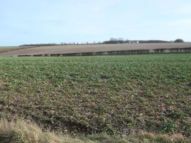
Image: © Christine Johnstone Taken: 17 Feb 2023
The distant buildings are Uncleby Wold Barn. A major boundary runs along the nearest hedge. The far side is in Kirby Underdale civil parish in the East Riding of Yorkshire. The near side is in Thixendale civil parish, in Ryedale district in the county of North Yorkshire.
Images are licensed for reuse under creativecommons.org/licenses/by-sa/2.0
Image Location


Leaflet Map data © OpenStreetMap
Latitude
54.026129
Longitude
-0.746851