Olivet Evangelical Church
Introduction
The photograph on this page of Olivet Evangelical Church by Richard Sutcliffe as part of the Geograph project.
The Geograph project started in 2005 with the aim of publishing, organising and preserving representative images for every square kilometre of Great Britain, Ireland and the Isle of Man.

There are currently over 7.5m images from over 14,400 individuals and you can help contribute to the project by visiting https://www.geograph.org.uk
Olivet Evangelical Church
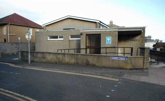
Image: © Richard Sutcliffe Taken: 17 Feb 2023
At the corner of Kerse Lane and Garden Street. The church opened in 1963.
Images are licensed for reuse under creativecommons.org/licenses/by-sa/2.0
Image Location
Latitude
56.000282
Longitude
-3.778364