Western edge of Littledean
Introduction
The photograph on this page of Western edge of Littledean by Pauline E as part of the Geograph project.
The Geograph project started in 2005 with the aim of publishing, organising and preserving representative images for every square kilometre of Great Britain, Ireland and the Isle of Man.

There are currently over 7.5m images from over 14,400 individuals and you can help contribute to the project by visiting https://www.geograph.org.uk
Western edge of Littledean
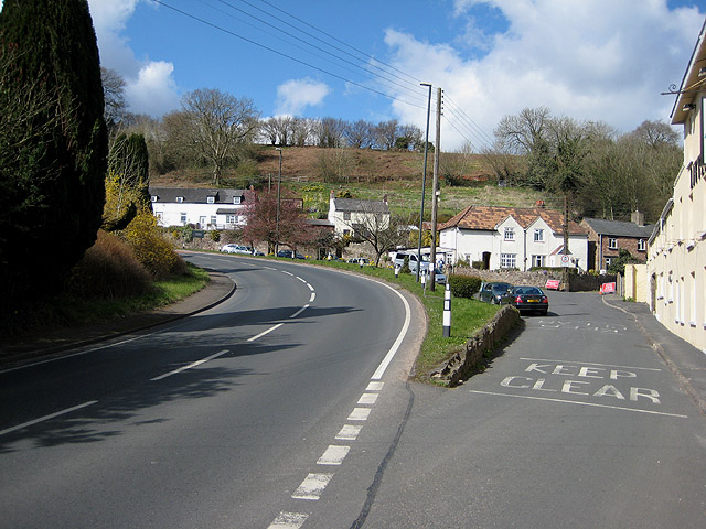
Image: © Pauline E Taken: 27 Mar 2008
The A4151 bends on its way to Cinderford. Off to the right is High Street, closed to traffic today.
Images are licensed for reuse under creativecommons.org/licenses/by-sa/2.0
Image Location


Leaflet Map data © OpenStreetMap
Latitude
51.820207
Longitude
-2.483943