Lightfoots
Introduction
The photograph on this page of Lightfoots by Paul Franks as part of the Geograph project.
The Geograph project started in 2005 with the aim of publishing, organising and preserving representative images for every square kilometre of Great Britain, Ireland and the Isle of Man.

There are currently over 7.5m images from over 14,400 individuals and you can help contribute to the project by visiting https://www.geograph.org.uk
Lightfoots
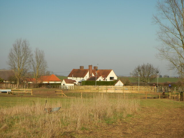
Image: © Paul Franks Taken: 14 Feb 2023
A farmhouse has existed on the site since the middle of the 14th century, but the present building dates from the late 16th century. It is now run as a livery stable.
Images are licensed for reuse under creativecommons.org/licenses/by-sa/2.0
Image Location
Latitude
51.752406
Longitude
0.376541