All Saints Church, Llansaint
Introduction
The photograph on this page of All Saints Church, Llansaint by Alan Hughes as part of the Geograph project.
The Geograph project started in 2005 with the aim of publishing, organising and preserving representative images for every square kilometre of Great Britain, Ireland and the Isle of Man.

There are currently over 7.5m images from over 14,400 individuals and you can help contribute to the project by visiting https://www.geograph.org.uk
All Saints Church, Llansaint
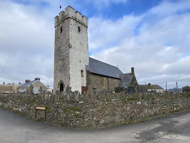
Image: © Alan Hughes Taken: 19 Feb 2023
Until the 17th century Llansaint was known as Halkenchurche meaning church of the saints. https://en.wikipedia.org/wiki/Llansaint.
Images are licensed for reuse under creativecommons.org/licenses/by-sa/2.0
Image Location
Latitude
51.747701
Longitude
-4.341574