Moyletra Kill Townland
Introduction
The photograph on this page of Moyletra Kill Townland by Kenneth Allen as part of the Geograph project.
The Geograph project started in 2005 with the aim of publishing, organising and preserving representative images for every square kilometre of Great Britain, Ireland and the Isle of Man.

There are currently over 7.5m images from over 14,400 individuals and you can help contribute to the project by visiting https://www.geograph.org.uk
Moyletra Kill Townland
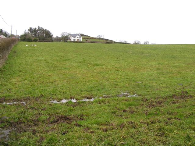
Image: © Kenneth Allen Taken: 26 Mar 2008
Looking north-west towards Sanneys Hill. The Kill element of the townland name is Irish for church. This is view from the corner of the field with Moyletra COI church and graveyard over the viewer's right shoulder. Road on left of picture is Kurin Road leading towards Garvagh. At top left of picture is a farm complex at the lower end of the derelict village/hamlet of Moyletra. The townland to left of picture is Moyletra Toy. Sanney's Hill now covered in hazel/birch gorse woodland has the remains of an ancient earthworks and ditch.
Images are licensed for reuse under creativecommons.org/licenses/by-sa/2.0
Image Location
Latitude
54.958834
Longitude
-6.648891