Loughor Castle
Introduction
The photograph on this page of Loughor Castle by Eirian Evans as part of the Geograph project.
The Geograph project started in 2005 with the aim of publishing, organising and preserving representative images for every square kilometre of Great Britain, Ireland and the Isle of Man.

There are currently over 7.5m images from over 14,400 individuals and you can help contribute to the project by visiting https://www.geograph.org.uk
Loughor Castle
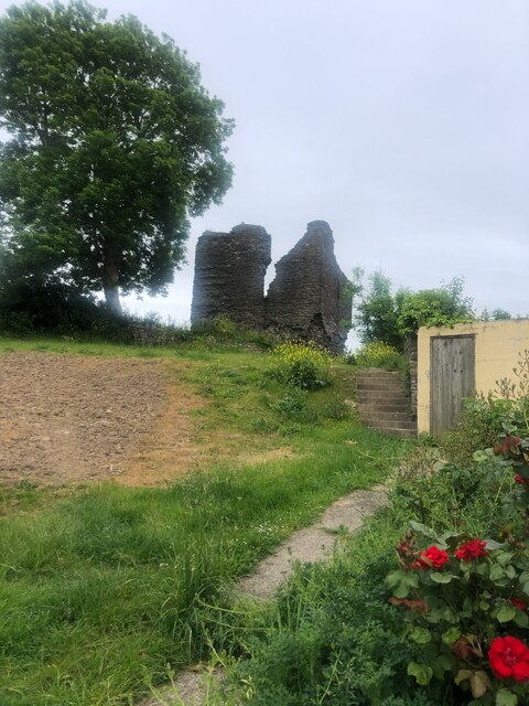
Image: © Eirian Evans Taken: 22 May 2022
A ruined, medieval fortification, built around 1106 by the Anglo-Norman lord Henry de Beaumont, during the Norman invasion of Wales. Viewed from Castle Street.
Images are licensed for reuse under creativecommons.org/licenses/by-sa/2.0
Image Location


Leaflet Map data © OpenStreetMap
Latitude
51.662204
Longitude
-4.07746