Canalside parkland near Pendeford in Wolverhampton
Introduction
The photograph on this page of Canalside parkland near Pendeford in Wolverhampton by Roger Kidd as part of the Geograph project.
The Geograph project started in 2005 with the aim of publishing, organising and preserving representative images for every square kilometre of Great Britain, Ireland and the Isle of Man.

There are currently over 7.5m images from over 14,400 individuals and you can help contribute to the project by visiting https://www.geograph.org.uk
Canalside parkland near Pendeford in Wolverhampton
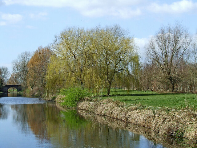
Image: © Roger Kidd Taken: 19 Apr 2013
This shows the Shropshire Union Canal, looking north-west towards Barnhust Bridge, No 2.
Images are licensed for reuse under creativecommons.org/licenses/by-sa/2.0
Image Location
Latitude
52.619809
Longitude
-2.15195