Along the edge of the woods on Offa's Dyke Path
Introduction
The photograph on this page of Along the edge of the woods on Offa's Dyke Path by Jeff Buck as part of the Geograph project.
The Geograph project started in 2005 with the aim of publishing, organising and preserving representative images for every square kilometre of Great Britain, Ireland and the Isle of Man.

There are currently over 7.5m images from over 14,400 individuals and you can help contribute to the project by visiting https://www.geograph.org.uk
Along the edge of the woods on Offa's Dyke Path
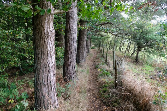
Image: © Jeff Buck Taken: 14 Oct 2022
Heading south along the edge of woodland on Offa's Dyke Path southwest of Selattyn. Although now in Shropshire, this area only became confirmed as part of England in the 16th century, and as recently as 1878 Welsh services and Welsh was reportedly being spoken in Selattyn and the surrounding area. Wikipedia https://en.wikipedia.org/wiki/Offa%27s_Dyke_Path
Images are licensed for reuse under creativecommons.org/licenses/by-sa/2.0
Image Location
Latitude
52.889587
Longitude
-3.113327