Footpath around the edge of the Ouzewell Lane housing estate
Introduction
The photograph on this page of Footpath around the edge of the Ouzewell Lane housing estate by Humphrey Bolton as part of the Geograph project.
The Geograph project started in 2005 with the aim of publishing, organising and preserving representative images for every square kilometre of Great Britain, Ireland and the Isle of Man.

There are currently over 7.5m images from over 14,400 individuals and you can help contribute to the project by visiting https://www.geograph.org.uk
Footpath around the edge of the Ouzewell Lane housing estate
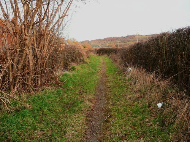
Image: © Humphrey Bolton Taken: 16 Feb 2023
This path goes to King Edward Street. It seems to have been missed when the rights-of-way were established.
Images are licensed for reuse under creativecommons.org/licenses/by-sa/2.0
Image Location
Latitude
53.670191
Longitude
-1.645633