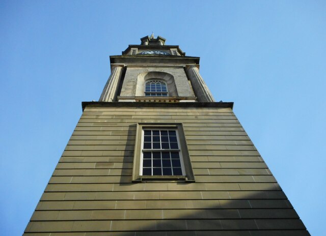
Falkirk Steeple
Introduction
The photograph on this page of Falkirk Steeple by Richard Sutcliffe as part of the Geograph project.
The Geograph project started in 2005 with the aim of publishing, organising and preserving representative images for every square kilometre of Great Britain, Ireland and the Isle of Man.
There are currently over 7.5m images from over 14,400 individuals and you can help contribute to the project by visiting https://www.geograph.org.uk

Image: © Richard Sutcliffe Taken: 17 Feb 2023
Information in the window of the Category A listed http://portal.historicenvironment.scot/designation/LB31178 building: The town of Falkirk has had a steeple since the late 16th or early 17th century. The current steeple is the third Falkirk Steeple, but only the second one to occupy this site. In 1812 Glasgow architect David Hamilton was commissioned to design a new steeple. Building work began in 1813. The ground floor originally housed a shop. Above this was a small room originally occupied by the town’s jailkeeper. The next two rooms above were used as prison cells until around 1860. The heavy wooden doors and iron bolts can still be seen. The upper floor contained a meeting room with impressive views along the High Street. The new 140 foot steeple was completed in 1814. The steeple bell carried the inscription ‘May Falkirk Flourish’. In 1927 a lightning strike damaged the top 40 feet of the steeple, with repairs being made the following year. The steeple was fully refurbished in 2016 as part of the Falkirk THI Project. For more information and opening times visit Falkirksteeple.com

