Cycleway from Micheldever Road to the A3093
Introduction
The photograph on this page of Cycleway from Micheldever Road to the A3093 by Peter Facey as part of the Geograph project.
The Geograph project started in 2005 with the aim of publishing, organising and preserving representative images for every square kilometre of Great Britain, Ireland and the Isle of Man.

There are currently over 7.5m images from over 14,400 individuals and you can help contribute to the project by visiting https://www.geograph.org.uk
Cycleway from Micheldever Road to the A3093
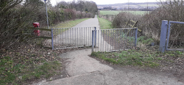
Image: © Peter Facey Taken: 18 Feb 2023
This newish cycleway is not yet shown on OS maps. For context see Image
Images are licensed for reuse under creativecommons.org/licenses/by-sa/2.0
Image Location
Latitude
51.203487
Longitude
-1.455893