Path across junction of A3093 and A303
Introduction
The photograph on this page of Path across junction of A3093 and A303 by Peter Facey as part of the Geograph project.
The Geograph project started in 2005 with the aim of publishing, organising and preserving representative images for every square kilometre of Great Britain, Ireland and the Isle of Man.

There are currently over 7.5m images from over 14,400 individuals and you can help contribute to the project by visiting https://www.geograph.org.uk
Path across junction of A3093 and A303
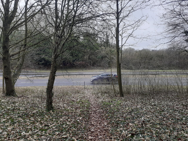
Image: © Peter Facey Taken: 18 Feb 2023
This path, not marked as a right of way on the map, seems to be quite well used. Here is cuts across the A3093 dual carriageway. This path enables walking from the southern end of Picket Twenty across the junction to the eastern end of Micheldever Road (an obsolete tarmac road which has become a path with encroaching vegetation).
Images are licensed for reuse under creativecommons.org/licenses/by-sa/2.0
Image Location
Latitude
51.201213
Longitude
-1.450338