Fields at Youldon
Introduction
The photograph on this page of Fields at Youldon by Derek Harper as part of the Geograph project.
The Geograph project started in 2005 with the aim of publishing, organising and preserving representative images for every square kilometre of Great Britain, Ireland and the Isle of Man.

There are currently over 7.5m images from over 14,400 individuals and you can help contribute to the project by visiting https://www.geograph.org.uk
Fields at Youldon
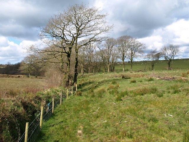
Image: © Derek Harper Taken: 27 Mar 2008
Trees and thin belts of woodland follow the lines of watercourses which form a tributary of the River Waldon. Satellite images show that mature trees used to follow the drain on the left right up to the lane to Youldon Farm (followed by Abbots Bickington Footpath 3) from where this image was taken.
Images are licensed for reuse under creativecommons.org/licenses/by-sa/2.0
Image Location
Latitude
50.890552
Longitude
-4.327601