Mearns Castle
Introduction
The photograph on this page of Mearns Castle by Richard Sutcliffe as part of the Geograph project.
The Geograph project started in 2005 with the aim of publishing, organising and preserving representative images for every square kilometre of Great Britain, Ireland and the Isle of Man.

There are currently over 7.5m images from over 14,400 individuals and you can help contribute to the project by visiting https://www.geograph.org.uk
Mearns Castle
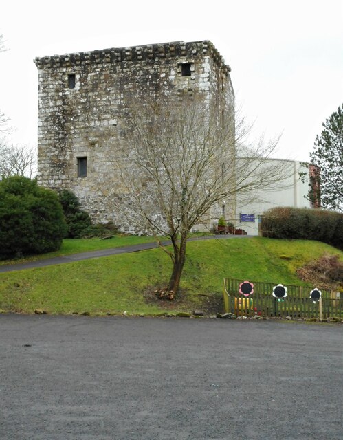
Image: © Richard Sutcliffe Taken: 15 Feb 2023
A Category A listed http://portal.historicenvironment.scot/designation/LB18536 15th century tower house. It was converted into a church in the late 1960s before a new modern church (on the right) was built attached to the tower in 1971. See Mearns History Group https://mearnshistory.org.uk/index.php/history/castles/mearns-castle for more information.
Images are licensed for reuse under creativecommons.org/licenses/by-sa/2.0
Image Location
Latitude
55.769495
Longitude
-4.308765