Staffordshire and Worcestersire Canal approaching Penkridge
Introduction
The photograph on this page of Staffordshire and Worcestersire Canal approaching Penkridge by Roger Kidd as part of the Geograph project.
The Geograph project started in 2005 with the aim of publishing, organising and preserving representative images for every square kilometre of Great Britain, Ireland and the Isle of Man.

There are currently over 7.5m images from over 14,400 individuals and you can help contribute to the project by visiting https://www.geograph.org.uk
Staffordshire and Worcestersire Canal approaching Penkridge
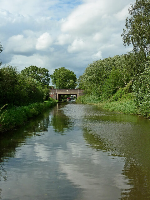
Image: © Roger Kidd Taken: 16 Aug 2012
Looking north towards Cross Keys Bridge, No 83A. The bridge carries Wolgarston Way.
Images are licensed for reuse under creativecommons.org/licenses/by-sa/2.0
Image Location
Latitude
52.716764
Longitude
-2.110985