Kenton Bank Hall
Introduction
The photograph on this page of Kenton Bank Hall by Phil Thirkell as part of the Geograph project.
The Geograph project started in 2005 with the aim of publishing, organising and preserving representative images for every square kilometre of Great Britain, Ireland and the Isle of Man.

There are currently over 7.5m images from over 14,400 individuals and you can help contribute to the project by visiting https://www.geograph.org.uk
Kenton Bank Hall
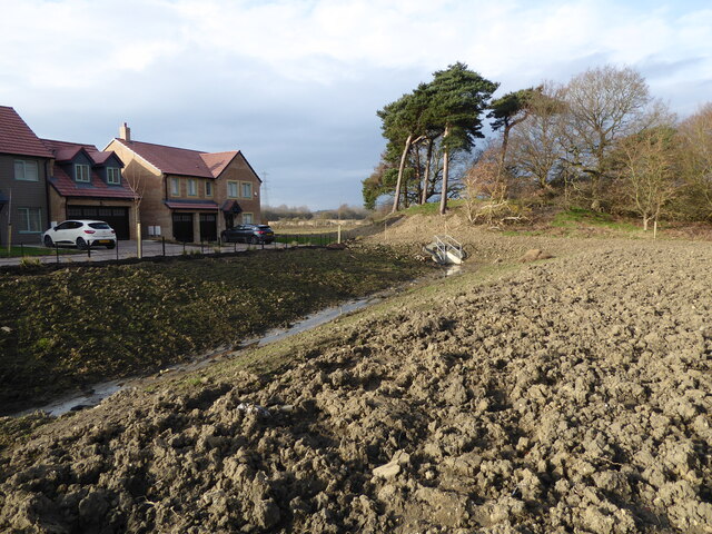
Image: © Phil Thirkell Taken: 15 Feb 2023
The northern end of the Kenton Bank Hall estate looking towards the old pit heap opposite Bullock Steads.
Images are licensed for reuse under creativecommons.org/licenses/by-sa/2.0
Image Location


Leaflet Map data © OpenStreetMap
Latitude
55.017118
Longitude
-1.68422