Grassland and Woodland
Introduction
The photograph on this page of Grassland and Woodland by SGBailey as part of the Geograph project.
The Geograph project started in 2005 with the aim of publishing, organising and preserving representative images for every square kilometre of Great Britain, Ireland and the Isle of Man.

There are currently over 7.5m images from over 14,400 individuals and you can help contribute to the project by visiting https://www.geograph.org.uk
Grassland and Woodland
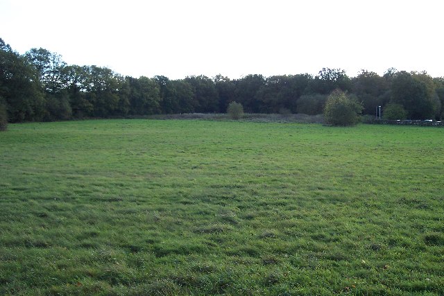
Image: © SGBailey Taken: 4 Nov 2005
This view from TQ315388 looks south across grassland towards Coombers Wood. The wood is about 40% of the grid square. The grassland, although enclosed and links Copthorne Common and Pot Common. A hotel car park can be seen on the extreme right.
Images are licensed for reuse under creativecommons.org/licenses/by-sa/2.0
Image Location


Leaflet Map data © OpenStreetMap
Latitude
51.133385
Longitude
-0.121938