The North Down Coastal Path at Bangor
Introduction
The photograph on this page of The North Down Coastal Path at Bangor by Rossographer as part of the Geograph project.
The Geograph project started in 2005 with the aim of publishing, organising and preserving representative images for every square kilometre of Great Britain, Ireland and the Isle of Man.

There are currently over 7.5m images from over 14,400 individuals and you can help contribute to the project by visiting https://www.geograph.org.uk
The North Down Coastal Path at Bangor
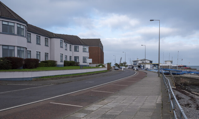
Image: © Rossographer Taken: 13 Feb 2023
The path on the Seacliff Road in Bangor. This is an urban section of the path and follows a footpath for around 1 mile between this point and the centre of Bangor.
Images are licensed for reuse under creativecommons.org/licenses/by-sa/2.0
Image Location
Latitude
54.666672
Longitude
-5.65341