The Capelrig
Introduction
The photograph on this page of The Capelrig by Richard Sutcliffe as part of the Geograph project.
The Geograph project started in 2005 with the aim of publishing, organising and preserving representative images for every square kilometre of Great Britain, Ireland and the Isle of Man.

There are currently over 7.5m images from over 14,400 individuals and you can help contribute to the project by visiting https://www.geograph.org.uk
The Capelrig
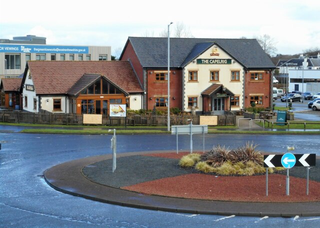
Image: © Richard Sutcliffe Taken: 15 Feb 2023
Public house beside a roundabout on the B7087. Capelrig is the name of the local estate, which dates back to the 12th century.
Images are licensed for reuse under creativecommons.org/licenses/by-sa/2.0
Image Location
Latitude
55.784051
Longitude
-4.346948