Burley Way
Introduction
The photograph on this page of Burley Way by John Baker as part of the Geograph project.
The Geograph project started in 2005 with the aim of publishing, organising and preserving representative images for every square kilometre of Great Britain, Ireland and the Isle of Man.

There are currently over 7.5m images from over 14,400 individuals and you can help contribute to the project by visiting https://www.geograph.org.uk
Burley Way
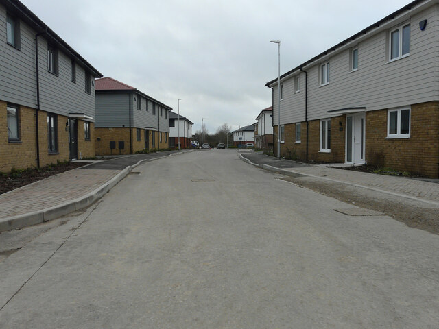
Image: © John Baker Taken: 29 Jan 2023
This section of the road is further from its junction with Ashford Road, than this view of Image The road will form part of Mulberry Place.
Images are licensed for reuse under creativecommons.org/licenses/by-sa/2.0
Image Location
Latitude
50.988684
Longitude
0.937969