The Bungalows, Framfield
Introduction
The photograph on this page of The Bungalows, Framfield by Simon Carey as part of the Geograph project.
The Geograph project started in 2005 with the aim of publishing, organising and preserving representative images for every square kilometre of Great Britain, Ireland and the Isle of Man.

There are currently over 7.5m images from over 14,400 individuals and you can help contribute to the project by visiting https://www.geograph.org.uk
The Bungalows, Framfield
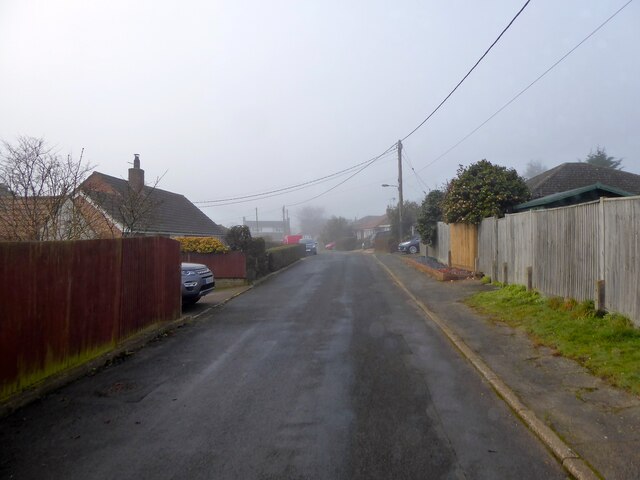
Image: © Simon Carey Taken: 14 Feb 2023
A cul de sac off Blackboys Road, the B2102, that was built sometime in the 1940s.
Images are licensed for reuse under creativecommons.org/licenses/by-sa/2.0
Image Location


Leaflet Map data © OpenStreetMap
Latitude
50.963895
Longitude
0.132835