Chantry Estate Foot Crossing
Introduction
The photograph on this page of Chantry Estate Foot Crossing by Bob Walters as part of the Geograph project.
The Geograph project started in 2005 with the aim of publishing, organising and preserving representative images for every square kilometre of Great Britain, Ireland and the Isle of Man.

There are currently over 7.5m images from over 14,400 individuals and you can help contribute to the project by visiting https://www.geograph.org.uk
Chantry Estate Foot Crossing
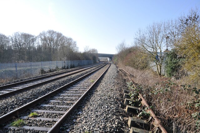
Image: © Bob Walters Taken: 15 Feb 2023
Chantry Estate Foot Crossing - sometimes known as Woburn Road Crossing. A view west towards the A421 bridge. Note the redundant bullhead railway track lying alongside. This has been left here for many years since modern track was installed, and occurs all along the line from Bletchley to Bedford.
Images are licensed for reuse under creativecommons.org/licenses/by-sa/2.0
Image Location
Latitude
52.106017
Longitude
-0.492544