Philpots
Introduction
The photograph on this page of Philpots by Simon Carey as part of the Geograph project.
The Geograph project started in 2005 with the aim of publishing, organising and preserving representative images for every square kilometre of Great Britain, Ireland and the Isle of Man.

There are currently over 7.5m images from over 14,400 individuals and you can help contribute to the project by visiting https://www.geograph.org.uk
Philpots
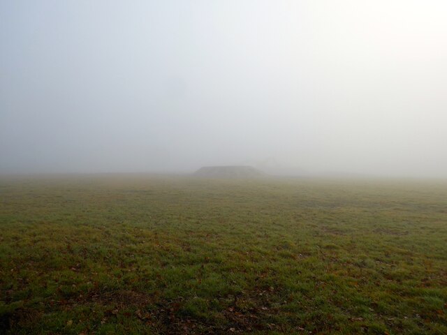
Image: © Simon Carey Taken: 14 Feb 2023
The name of the field according to Framfield's 1840 tithe map that is bounded by Framfield Road, the B2102, to the north and Stonebridge Lane to the west. If you look very closely beyond the pile of earth you can just about make out two diggers which were working in the field on this day but were obscured by the thick mist despite being less than 80 yards away.
Images are licensed for reuse under creativecommons.org/licenses/by-sa/2.0
Image Location


Leaflet Map data © OpenStreetMap
Latitude
50.963771
Longitude
0.159177