Garn Fawr
Introduction
The photograph on this page of Garn Fawr by Alan Richards as part of the Geograph project.
The Geograph project started in 2005 with the aim of publishing, organising and preserving representative images for every square kilometre of Great Britain, Ireland and the Isle of Man.

There are currently over 7.5m images from over 14,400 individuals and you can help contribute to the project by visiting https://www.geograph.org.uk
Garn Fawr
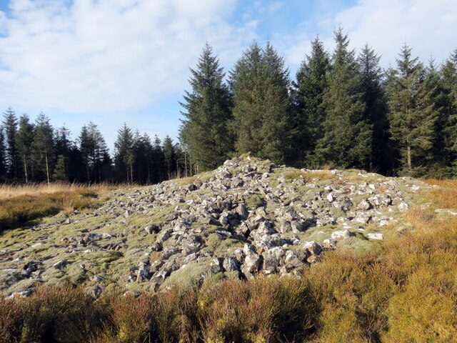
Image: © Alan Richards Taken: 14 Feb 2023
Carn o'r oes Efydd mewn llanerch o goed. A Bronze Age cairn within a forest clearing.
Images are licensed for reuse under creativecommons.org/licenses/by-sa/2.0
Image Location
Latitude
52.111801
Longitude
-3.86901