St Harmon
Introduction
The photograph on this page of St Harmon by Stephen McKay as part of the Geograph project.
The Geograph project started in 2005 with the aim of publishing, organising and preserving representative images for every square kilometre of Great Britain, Ireland and the Isle of Man.

There are currently over 7.5m images from over 14,400 individuals and you can help contribute to the project by visiting https://www.geograph.org.uk
St Harmon
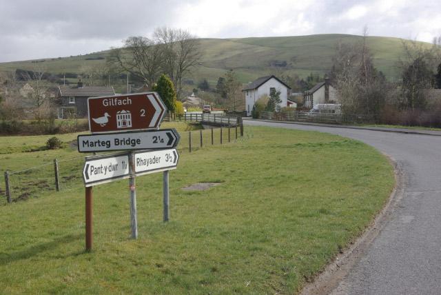
Image: © Stephen McKay Taken: 22 Mar 2008
Looking along the B4518 Llanidloes - Rhayader road as it approaches St Harmon, crossing the Afon Marteg in the foreground. Also passing through here is the route of the long-closed Brecon - Moat Lane Junction railway which crossed the road just beyond the bridge.
Images are licensed for reuse under creativecommons.org/licenses/by-sa/2.0
Image Location


Leaflet Map data © OpenStreetMap
Latitude
52.345068
Longitude
-3.487444