Possibly a benchmark by Hough Green, Chester
Introduction
The photograph on this page of Possibly a benchmark by Hough Green, Chester by John S Turner as part of the Geograph project.
The Geograph project started in 2005 with the aim of publishing, organising and preserving representative images for every square kilometre of Great Britain, Ireland and the Isle of Man.

There are currently over 7.5m images from over 14,400 individuals and you can help contribute to the project by visiting https://www.geograph.org.uk
Possibly a benchmark by Hough Green, Chester
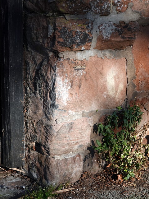
Image: © John S Turner Taken: 13 Feb 2023
This weathered mark on the sandstone wall appears to be the remains of an Ordnance Survey benchmark by the side gateway to #2 Woodlands Road, Hough Green.
Images are licensed for reuse under creativecommons.org/licenses/by-sa/2.0
Image Location
Latitude
53.178691
Longitude
-2.912637