Burleys Wood housing
Introduction
The photograph on this page of Burleys Wood housing by SGBailey as part of the Geograph project.
The Geograph project started in 2005 with the aim of publishing, organising and preserving representative images for every square kilometre of Great Britain, Ireland and the Isle of Man.

There are currently over 7.5m images from over 14,400 individuals and you can help contribute to the project by visiting https://www.geograph.org.uk
Burleys Wood housing
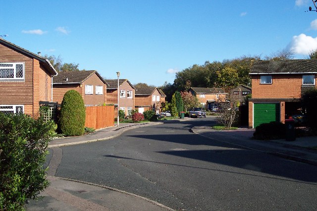
Image: © SGBailey Taken: 4 Nov 2005
Typical housing in the 35% of TQ3037 west of the M23 which is a suburb of Crawley. Taken from TQ301372 looking east.
Images are licensed for reuse under creativecommons.org/licenses/by-sa/2.0
Image Location
Latitude
51.119325
Longitude
-0.142513