Looking down Wood Lane
Introduction
The photograph on this page of Looking down Wood Lane by Tim Heaton as part of the Geograph project.
The Geograph project started in 2005 with the aim of publishing, organising and preserving representative images for every square kilometre of Great Britain, Ireland and the Isle of Man.

There are currently over 7.5m images from over 14,400 individuals and you can help contribute to the project by visiting https://www.geograph.org.uk
Looking down Wood Lane
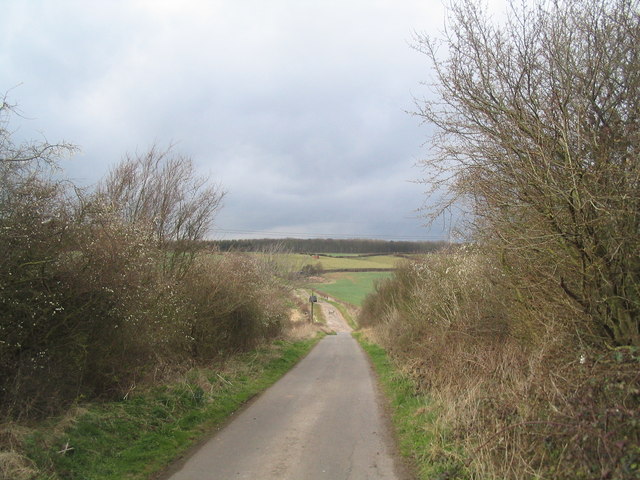
Image: © Tim Heaton Taken: 25 Mar 2008
The lane runs down to cross a minor road before rising again, as Soldiers Lane, towards the woods on Cottagers Hill (horizon).
Images are licensed for reuse under creativecommons.org/licenses/by-sa/2.0
Image Location
Latitude
52.862587
Longitude
-1.220749