Field near Paddon
Introduction
The photograph on this page of Field near Paddon by Derek Harper as part of the Geograph project.
The Geograph project started in 2005 with the aim of publishing, organising and preserving representative images for every square kilometre of Great Britain, Ireland and the Isle of Man.

There are currently over 7.5m images from over 14,400 individuals and you can help contribute to the project by visiting https://www.geograph.org.uk
Field near Paddon
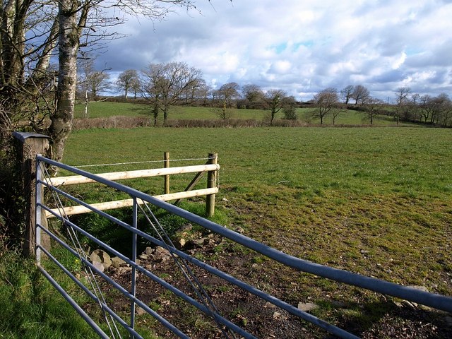
Image: © Derek Harper Taken: 27 Mar 2008
The field boundary on the far side of this field follows the line of a tributary of the River Waldon. The further line of trees marks the no through lane to Paddon. Taken from the lane from Holsworthy Beacon to Sutcombe.
Images are licensed for reuse under creativecommons.org/licenses/by-sa/2.0
Image Location
Latitude
50.860016
Longitude
-4.343416