Radford Meadows near Queensville, Stafford
Introduction
The photograph on this page of Radford Meadows near Queensville, Stafford by Roger Kidd as part of the Geograph project.
The Geograph project started in 2005 with the aim of publishing, organising and preserving representative images for every square kilometre of Great Britain, Ireland and the Isle of Man.

There are currently over 7.5m images from over 14,400 individuals and you can help contribute to the project by visiting https://www.geograph.org.uk
Radford Meadows near Queensville, Stafford
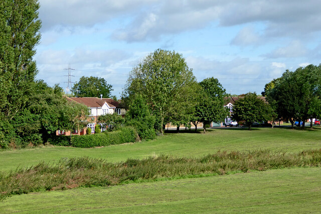
Image: © Roger Kidd Taken: 5 Aug 2015
The meadows by the River Penk here are well maintained and open to the public. The line of rough vegetation in the foreground shows the position of the Rickerscote Drain, which flows into the River Penk 125 metres to the north-east (off to the right). The housing is in Lancing Avenue.
Images are licensed for reuse under creativecommons.org/licenses/by-sa/2.0
Image Location
Latitude
52.793549
Longitude
-2.093978