Star Lane, Blackboys
Introduction
The photograph on this page of Star Lane, Blackboys by Simon Carey as part of the Geograph project.
The Geograph project started in 2005 with the aim of publishing, organising and preserving representative images for every square kilometre of Great Britain, Ireland and the Isle of Man.

There are currently over 7.5m images from over 14,400 individuals and you can help contribute to the project by visiting https://www.geograph.org.uk
Star Lane, Blackboys
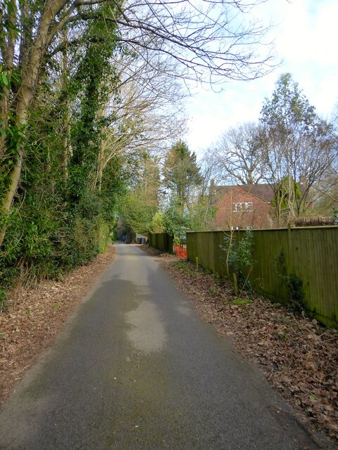
Image: © Simon Carey Taken: 5 Feb 2023
Narrow lane that links High Street, B2102, with Lewes Road, B2192.
Images are licensed for reuse under creativecommons.org/licenses/by-sa/2.0
Image Location
Latitude
50.96508
Longitude
0.171059