A34 at Radford Bridge near Stafford
Introduction
The photograph on this page of A34 at Radford Bridge near Stafford by Roger Kidd as part of the Geograph project.
The Geograph project started in 2005 with the aim of publishing, organising and preserving representative images for every square kilometre of Great Britain, Ireland and the Isle of Man.

There are currently over 7.5m images from over 14,400 individuals and you can help contribute to the project by visiting https://www.geograph.org.uk
A34 at Radford Bridge near Stafford
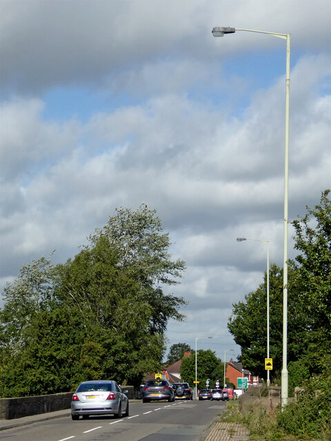
Image: © Roger Kidd Taken: 5 Aug 2015
Looking west-north-west towards Queensville and Stafford town centre, this telephoto assisted image from near the Radford Bank public house shows the busy A34 crossing the River Penk on Radford Bridge.
Images are licensed for reuse under creativecommons.org/licenses/by-sa/2.0
Image Location
Latitude
52.79283
Longitude
-2.093384