Tree by Rickerscote Drain south-east of Stafford
Introduction
The photograph on this page of Tree by Rickerscote Drain south-east of Stafford by Roger Kidd as part of the Geograph project.
The Geograph project started in 2005 with the aim of publishing, organising and preserving representative images for every square kilometre of Great Britain, Ireland and the Isle of Man.

There are currently over 7.5m images from over 14,400 individuals and you can help contribute to the project by visiting https://www.geograph.org.uk
Tree by Rickerscote Drain south-east of Stafford
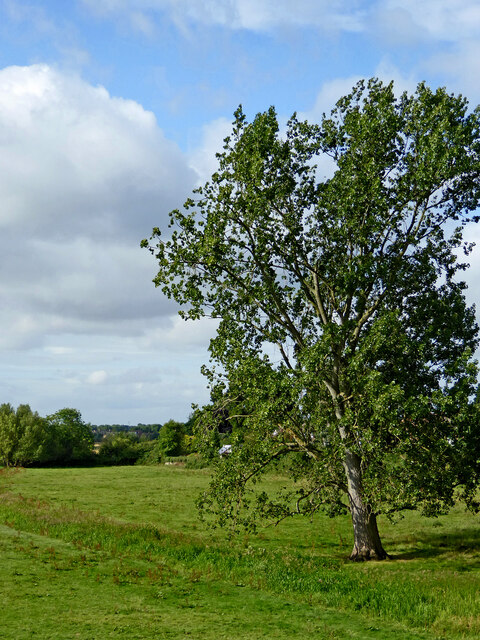
Image: © Roger Kidd Taken: 5 Aug 2015
Viewed from Radford Bridge, this is part of Radford Meadows, where three waterways have received considerable manipulation to help reduce the extent of flooding after extended wet weather. The tree is by Rickerscore Drain. Off to the left are the River Penk, and the Deepmore Drain. Image]
Images are licensed for reuse under creativecommons.org/licenses/by-sa/2.0
Image Location
Latitude
52.792201
Longitude
-2.093975