Derelict building, Gloucester
Introduction
The photograph on this page of Derelict building, Gloucester by Robin Stott as part of the Geograph project.
The Geograph project started in 2005 with the aim of publishing, organising and preserving representative images for every square kilometre of Great Britain, Ireland and the Isle of Man.

There are currently over 7.5m images from over 14,400 individuals and you can help contribute to the project by visiting https://www.geograph.org.uk
Derelict building, Gloucester
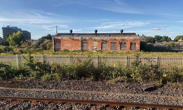
Image: © Robin Stott Taken: 14 Jul 2022
This is one visible feature of an area of dereliction north of the railway east of Gloucester station, identified by Open Street Map as Horton Road Depot, former railway land. The distant buildings and chimney to the left belong to the Gloucestershire Royal Hospital.
Images are licensed for reuse under creativecommons.org/licenses/by-sa/2.0
Image Location
Latitude
51.863145
Longitude
-2.230415