Brook Field
Introduction
The photograph on this page of Brook Field by Simon Carey as part of the Geograph project.
The Geograph project started in 2005 with the aim of publishing, organising and preserving representative images for every square kilometre of Great Britain, Ireland and the Isle of Man.

There are currently over 7.5m images from over 14,400 individuals and you can help contribute to the project by visiting https://www.geograph.org.uk
Brook Field
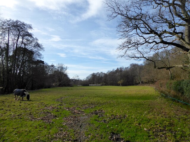
Image: © Simon Carey Taken: 5 Feb 2023
The name of the field according to Framfield's 1840 tithe map that is bounded by Riverside to the east, Gunbanks Farm to the west, Gunbank Plantation to the north and Tickerage Stream to the south. Beyond the latter is Image and along with a pond bay at the western end of the field next to the farm suggests this large field was once the hammer pond for Pounsley Furnace that operated between 1548 and 1733.
Images are licensed for reuse under creativecommons.org/licenses/by-sa/2.0
Image Location
Latitude
50.978428
Longitude
0.178662