River users' car park at Clifton Bridge
Introduction
The photograph on this page of River users' car park at Clifton Bridge by Alan Murray-Rust as part of the Geograph project.
The Geograph project started in 2005 with the aim of publishing, organising and preserving representative images for every square kilometre of Great Britain, Ireland and the Isle of Man.

There are currently over 7.5m images from over 14,400 individuals and you can help contribute to the project by visiting https://www.geograph.org.uk
River users' car park at Clifton Bridge
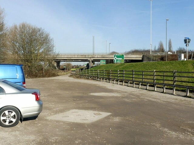
Image: © Alan Murray-Rust Taken: 8 Feb 2023
Convenient for both fishermen and the riverside footpaths. To the right is the bridleway which runs along the right bank of the River Trent between Wilford and Thrumpton via Clifton and Barton-in-Fabis.
Images are licensed for reuse under creativecommons.org/licenses/by-sa/2.0
Image Location
Latitude
52.923166
Longitude
-1.166114