Narrow headland southwest of Through Gang Point
Introduction
The photograph on this page of Narrow headland southwest of Through Gang Point by Peter Robinson as part of the Geograph project.
The Geograph project started in 2005 with the aim of publishing, organising and preserving representative images for every square kilometre of Great Britain, Ireland and the Isle of Man.

There are currently over 7.5m images from over 14,400 individuals and you can help contribute to the project by visiting https://www.geograph.org.uk
Narrow headland southwest of Through Gang Point
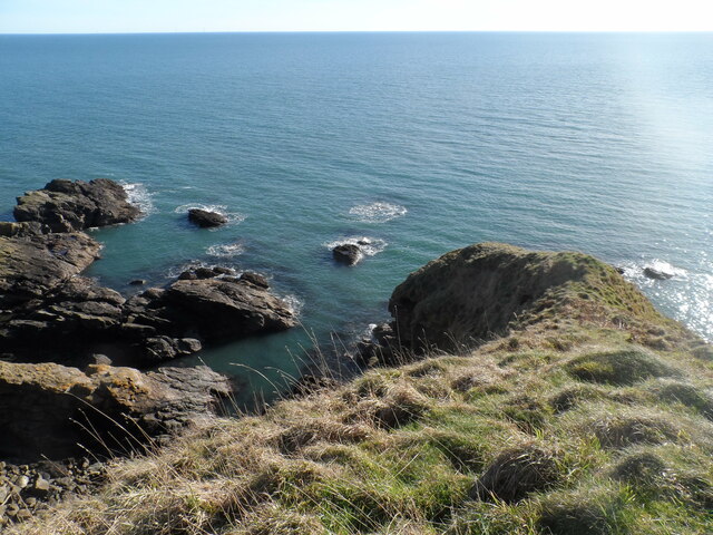
Image: © Peter Robinson Taken: 11 Feb 2023
Narrow, steep sided headland sloping down to the sea
Images are licensed for reuse under creativecommons.org/licenses/by-sa/2.0
Image Location
Latitude
57.049883
Longitude
-2.119649