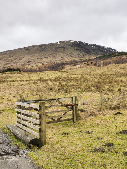
Mountain slopes rising from road at cattle grid
Introduction
The photograph on this page of Mountain slopes rising from road at cattle grid by Trevor Littlewood as part of the Geograph project.
The Geograph project started in 2005 with the aim of publishing, organising and preserving representative images for every square kilometre of Great Britain, Ireland and the Isle of Man.
There are currently over 7.5m images from over 14,400 individuals and you can help contribute to the project by visiting https://www.geograph.org.uk

Image: © Trevor Littlewood Taken: 8 Feb 2023
The grassy slope rises to a 799 metre, south-eastern top of the Munro, Beinn Sheasgarnaich. The area here is rather confused as to how far the public can motor over the road surface in Glen Lochay. OS mapping as displayed currently on the Geograph website has several versions of 'yellow' public roads at different scales and even at one scale; that uncertainty continues with the status of the road crossing to upper Glen Lyon! Inevitably, notices displayed by the local estate give a different and more restrictive view on where the public can drive and park.

