Dreadnought Centre
Introduction
The photograph on this page of Dreadnought Centre by Paul Barnett as part of the Geograph project.
The Geograph project started in 2005 with the aim of publishing, organising and preserving representative images for every square kilometre of Great Britain, Ireland and the Isle of Man.

There are currently over 7.5m images from over 14,400 individuals and you can help contribute to the project by visiting https://www.geograph.org.uk
Dreadnought Centre
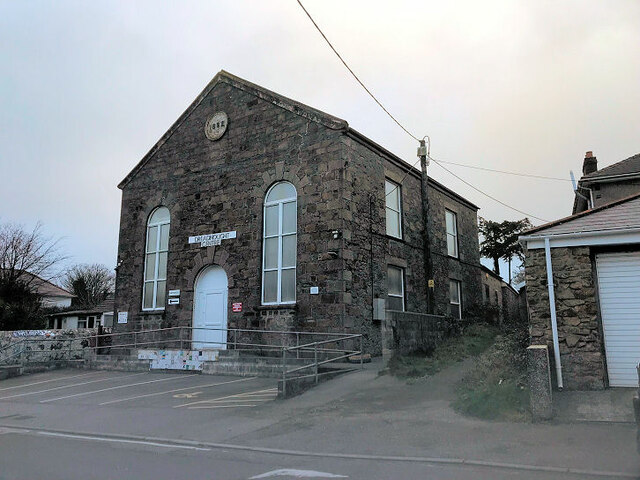
Image: © Paul Barnett Taken: 1 Jan 2022
Since 1978 the former Methodist Chapel has been the home of the Dreadnought Centre https://www.thedreadnought.co.uk/history/
Images are licensed for reuse under creativecommons.org/licenses/by-sa/2.0
Image Location
Latitude
50.226004
Longitude
-5.266653