The lower navigation marker on Hellihole Road
Introduction
The photograph on this page of The lower navigation marker on Hellihole Road by David Medcalf as part of the Geograph project.
The Geograph project started in 2005 with the aim of publishing, organising and preserving representative images for every square kilometre of Great Britain, Ireland and the Isle of Man.

There are currently over 7.5m images from over 14,400 individuals and you can help contribute to the project by visiting https://www.geograph.org.uk
The lower navigation marker on Hellihole Road
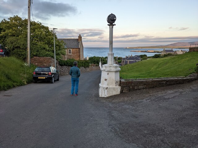
Image: © David Medcalf Taken: 5 Jun 2022
There are two such markers on the road side. Boats approaching Stromness would line them up to give a safe passage into or out of the harbour approach.
Images are licensed for reuse under creativecommons.org/licenses/by-sa/2.0
Image Location


Leaflet Map data © OpenStreetMap
Latitude
58.960273
Longitude
-3.302895