Lane near Fleming Hall
Introduction
The photograph on this page of Lane near Fleming Hall by Adrian Taylor as part of the Geograph project.
The Geograph project started in 2005 with the aim of publishing, organising and preserving representative images for every square kilometre of Great Britain, Ireland and the Isle of Man.

There are currently over 7.5m images from over 14,400 individuals and you can help contribute to the project by visiting https://www.geograph.org.uk
Lane near Fleming Hall
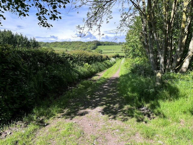
Image: © Adrian Taylor Taken: 31 May 2022
The lane is a public bridleway from Seascale Hall to Gosforth.
Images are licensed for reuse under creativecommons.org/licenses/by-sa/2.0
Image Location
Latitude
54.415111
Longitude
-3.469564