Bolster Moor Baptist Church
Introduction
The photograph on this page of Bolster Moor Baptist Church by Chris Allen as part of the Geograph project.
The Geograph project started in 2005 with the aim of publishing, organising and preserving representative images for every square kilometre of Great Britain, Ireland and the Isle of Man.

There are currently over 7.5m images from over 14,400 individuals and you can help contribute to the project by visiting https://www.geograph.org.uk
Bolster Moor Baptist Church
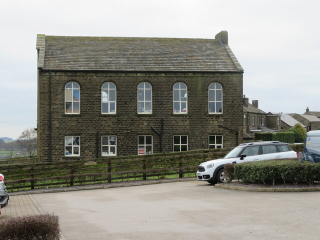
Image: © Chris Allen Taken: 4 Feb 2023
Seen from the farm shop car park. The church closed in 2013 but was bought by the farm shop and is, I think, used by a local play group.
Images are licensed for reuse under creativecommons.org/licenses/by-sa/2.0
Image Location
Latitude
53.63505
Longitude
-1.86839