Old Boundary Marker on Trevenson Road, Pool
Introduction
The photograph on this page of Old Boundary Marker on Trevenson Road, Pool by I Thompson as part of the Geograph project.
The Geograph project started in 2005 with the aim of publishing, organising and preserving representative images for every square kilometre of Great Britain, Ireland and the Isle of Man.

There are currently over 7.5m images from over 14,400 individuals and you can help contribute to the project by visiting https://www.geograph.org.uk
Old Boundary Marker on Trevenson Road, Pool
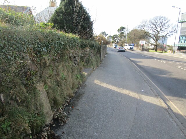
Image: © I Thompson Taken: 5 Feb 2023
Mine Boundary Marker set in the stone front garden wall of No 27, on the south side of Trevenson Road, Pool. Carn Brea parish. Inscribed B / 12. Perhaps marking the boundary of South Crofty mine. Milestone Society National ID: CW_CARNB06em
Images are licensed for reuse under creativecommons.org/licenses/by-sa/2.0
Image Location
Latitude
50.227054
Longitude
-5.271198