Cairnhill Woods
Introduction
The photograph on this page of Cairnhill Woods by Richard Sutcliffe as part of the Geograph project.
The Geograph project started in 2005 with the aim of publishing, organising and preserving representative images for every square kilometre of Great Britain, Ireland and the Isle of Man.

There are currently over 7.5m images from over 14,400 individuals and you can help contribute to the project by visiting https://www.geograph.org.uk
Cairnhill Woods
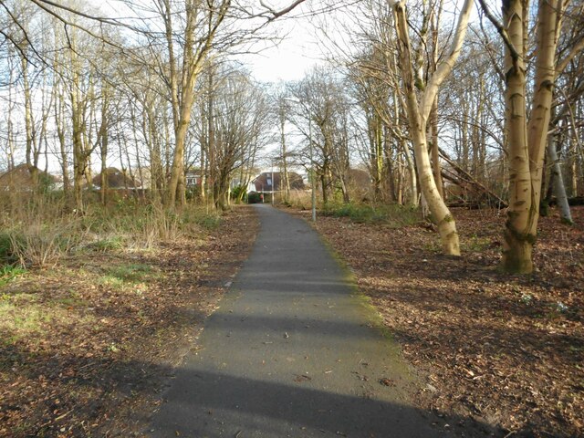
Image: © Richard Sutcliffe Taken: 9 Feb 2023
Cairnhill Woods is a narrow strip of woodland, running north to south for about 800 metres. This path links Henderland Road to Ravelston Road, cutting across the woods, which are about 100 metres wide at this point. The woodland is a mixture of mature trees up to 150 years old and more recent plantings. It is a good site for a variety of wildlife and forms part of an important wildlife corridor through the area. Cairnhill Woods is officially designated a Local Nature Conservation Site (LNCS) by East Dunbartonshire Council.
Images are licensed for reuse under creativecommons.org/licenses/by-sa/2.0
Image Location
Latitude
55.905887
Longitude
-4.329985