View east along How Street at junction for Hayton
Introduction
The photograph on this page of View east along How Street at junction for Hayton by Roger Templeman as part of the Geograph project.
The Geograph project started in 2005 with the aim of publishing, organising and preserving representative images for every square kilometre of Great Britain, Ireland and the Isle of Man.

There are currently over 7.5m images from over 14,400 individuals and you can help contribute to the project by visiting https://www.geograph.org.uk
View east along How Street at junction for Hayton
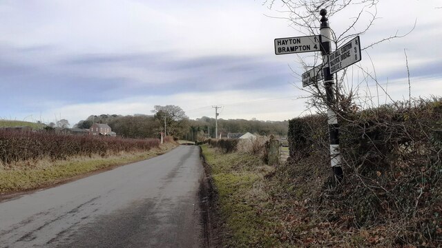
Image: © Roger Templeman Taken: 8 Feb 2023
There is a Cumberland County Council signpost Image against the hedge at the right hand side of the road. The gatepost at the gateway beyond the signpost has an Ordnance Survey benchmark Image
Images are licensed for reuse under creativecommons.org/licenses/by-sa/2.0
Image Location
Latitude
54.905461
Longitude
-2.754646