Box Ings Lane, Kirkburton
Introduction
The photograph on this page of Box Ings Lane, Kirkburton by Diocese of Leeds as part of the Geograph project.
The Geograph project started in 2005 with the aim of publishing, organising and preserving representative images for every square kilometre of Great Britain, Ireland and the Isle of Man.

There are currently over 7.5m images from over 14,400 individuals and you can help contribute to the project by visiting https://www.geograph.org.uk
Box Ings Lane, Kirkburton
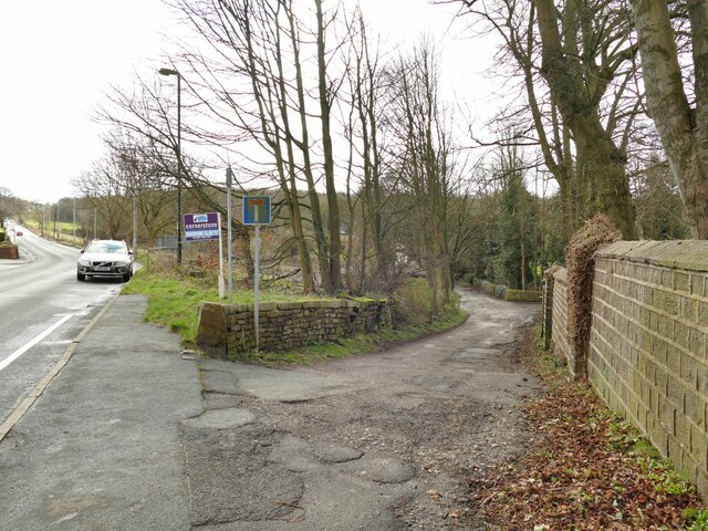
Image: © Diocese of Leeds Taken: 26 Feb 2020
A dead end lane leading to a farm and a few private properties, but it also forms part of the Trans Pennine Trail and this has the status of a public bridleway.
Images are licensed for reuse under creativecommons.org/licenses/by-sa/2.0
Image Location
Latitude
53.607336
Longitude
-1.701625